Driven By
You accurate guidance via GNSS RTK network
-
 Our advices to guide you towards geodata tailored to your needs
-
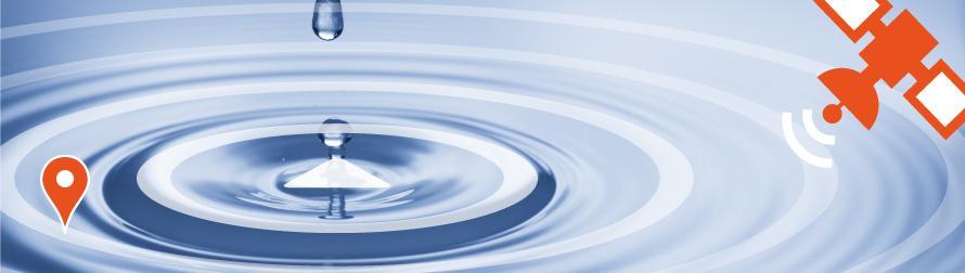
 Your GIS updated via portable mobile mapping
-
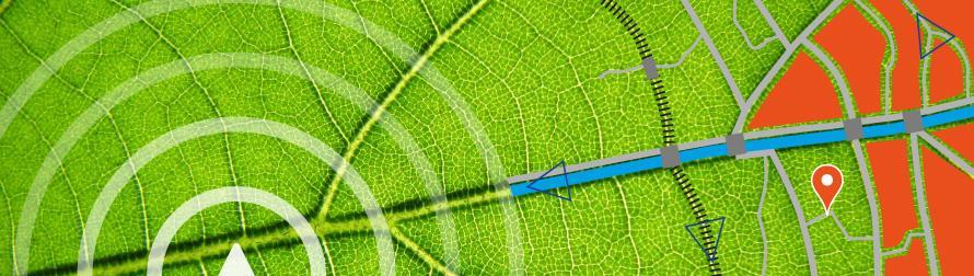
 You accurate guidance via GNSS RTK network
Our advices to guide you towards geodata tailored to your needs
Your GIS updated via portable mobile mapping
You accurate guidance via GNSS RTK network
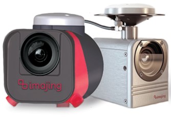
Mobile mapping is the high end technology to efficiently survey transportation networks in a short period of time by combining recorded images with accurate spatial positioning and orientation. Photogrammetric means are then used to measure or calculate 3D coordinates of any visible object on the images. The technology becomes “portable” when equipment can be installed very quickly on any car, boat or train.
 DrivenBy on road
DrivenBy on train 
 DrivenBy on boat
Being the exclusive distributor of the imajing® chain production tools for Belgium and Luxembourg, DrivenBy proposes a complete solution which :
From the field survey with imajbox® up to the distribution of the imagery database via imajnet® and including the data processing with imajview® to generate and update GIS thematic layers, imajing® chain production tools allow geo-referencing, viewing, managing and interpreting any thematic information associated with transportation assets.
Access to the video presentations :
Imajing® technology can be used in urban environment, high traffic roads, railways and navigable rivers. It offers a complete and integrated solution to produce, update and manage field data.
As one of the very first users of Mobile Mapping technology in Europe since early 2000, DrivenBy’s team will advise you to set up your projects either by integrating the imajing® solution in your technical resources or by implementing it for you to produce the desired geographical information.